
The Google Maps app is a mapping solution you regularly see online, or may even use yourself, but its extensive features aren’t widely known. Google Maps is constantly updating its content to make sure that even natural environments like ice caps, dense forests, and remote towns will be visible on our screens.
With its satellite imagery, Google Maps is taking us to locations and helping us experience spaces according to our own needs. This is also possible through Google Earth, a program that uses aerial photography and GIS data to present views of landscapes and cities from various angles.
Find out more about Google Maps and Google Earth in this guide.
- About Google Maps
- How to Download Google Maps
- How to Use Google Maps
- Customizing Locations and Trips on Google Maps
- About Google Earth
About Google Maps
Google Maps, developed by Lars Rasmussen and Jens Rasmussen, is a technological disruption of epic proportions. Google Maps’ features include GPS-determined locations and 360° interactive panoramic views of streets and places as far as outer space: you can even see the interior of the International Space Station!
With Google Maps, you can be updated with real-time traffic conditions, plan your route, and track your trips. It was launched all the way back in 2005 with geospatial data visualization and a real-time traffic analyzer.
In 2020, over 1 billion people worldwide use Google Maps every month. It was named the world’s most popular smartphone app in 2013 and has attracted 2 billion Android users as of May 2017. Business owners and organizations use Google Maps as a locator for their headquarters, offices, and stores.
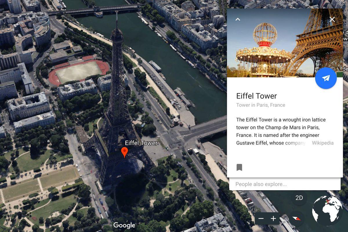
Google Maps’ satellite view gives you a bird’s-eye view of any area, showing high-resolution images of cities. They are taken by aircraft flying at 800 to 1,500 feet while others are done using satellites. In August 2018, the desktop version of Google Maps introduced an additional view as a 3D globe but users are free to return to the 2D map in the settings.
Google Maps Go
Don’t mistake Google Maps Go for Google Maps because the two are different apps. Google Maps Go is pre-installed on Android Oreo gadgets and available on the Play Store. Google Maps Go is separate from the Google Maps app.
While you can’t get real-time updates on Google Maps Go, it can search for a place, get more details about it, and get directions. Google Maps Go is designed for mobile phones and gadgets with limited memory.
This lightweight app provides accurate maps in 200 countries, public transport details for over 20,000 cities, and business information for over 100 million places.
How to Download Google Maps
Google Maps is available for Android and iOS users. You can also access some of its features even without a data connection.
To download Google Maps on your Android phone or tablet, go to the Google Play Store. Search for Google Maps, and when you see it, tap “Install.”
For iOS users, download Google Maps from the App Store. Look for “Google Maps” and then press the Get button once you see the app. Tap Install and wait for its launch.
Downloading and Managing Maps Offline
You can enjoy Google Maps’ location searches, navigational routes, and establishment details offline. To download a map, open Google Maps and determine the location you want to save. Tap the bottom info bar and then the three horizontal dots in the upper right corner.
Choose ‘Download Offline Map’. Decide on the size of the area you want to save, and then tap ‘Download’. Navigating Google Maps offline allows you to use the map even when there is no WiFi connection. The major difference is that you won’t be able to get live traffic updates.
To modify offline Google Maps areas, go to Google Maps and tap your profile picture. Choose ‘Offline Maps’ and then click on the three dots to the right of the area you want to modify. Then, choose the action you want to do on the area: Update, Delete, or Rename.
How to Use Google Maps
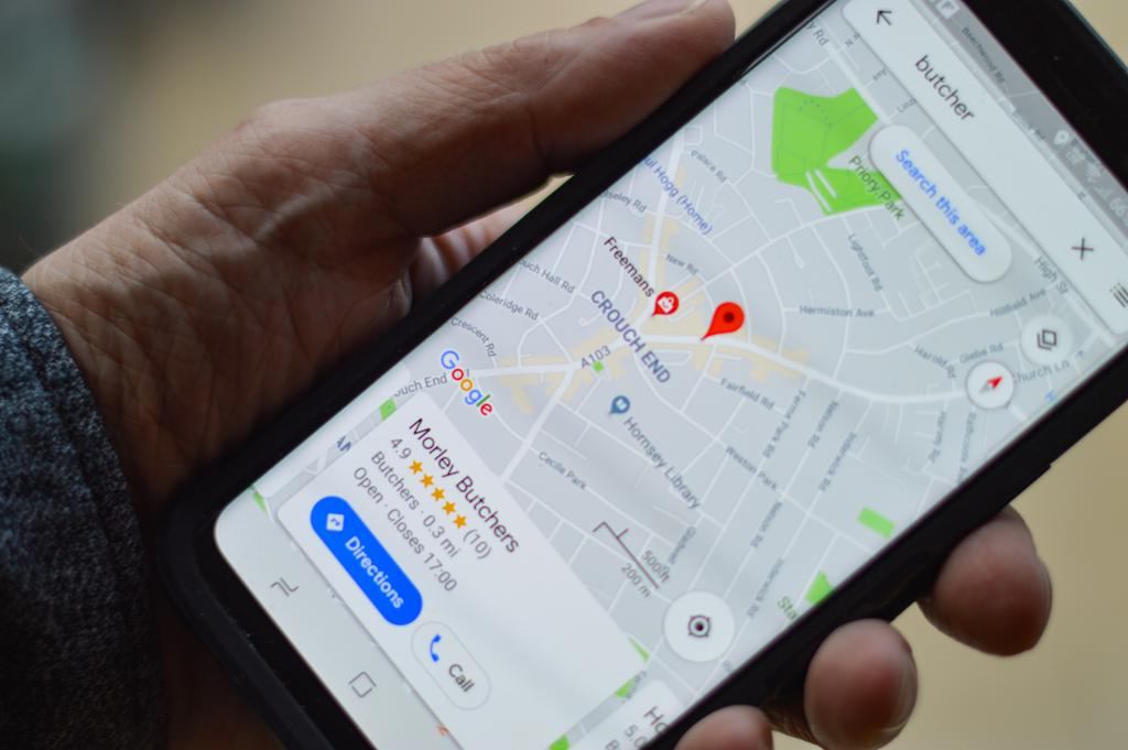
Google Maps acts like a compass of sorts or another pair of eyes that can go beyond what you currently see from where you are. With Google Maps, you can spot your desired locations with a few clicks.
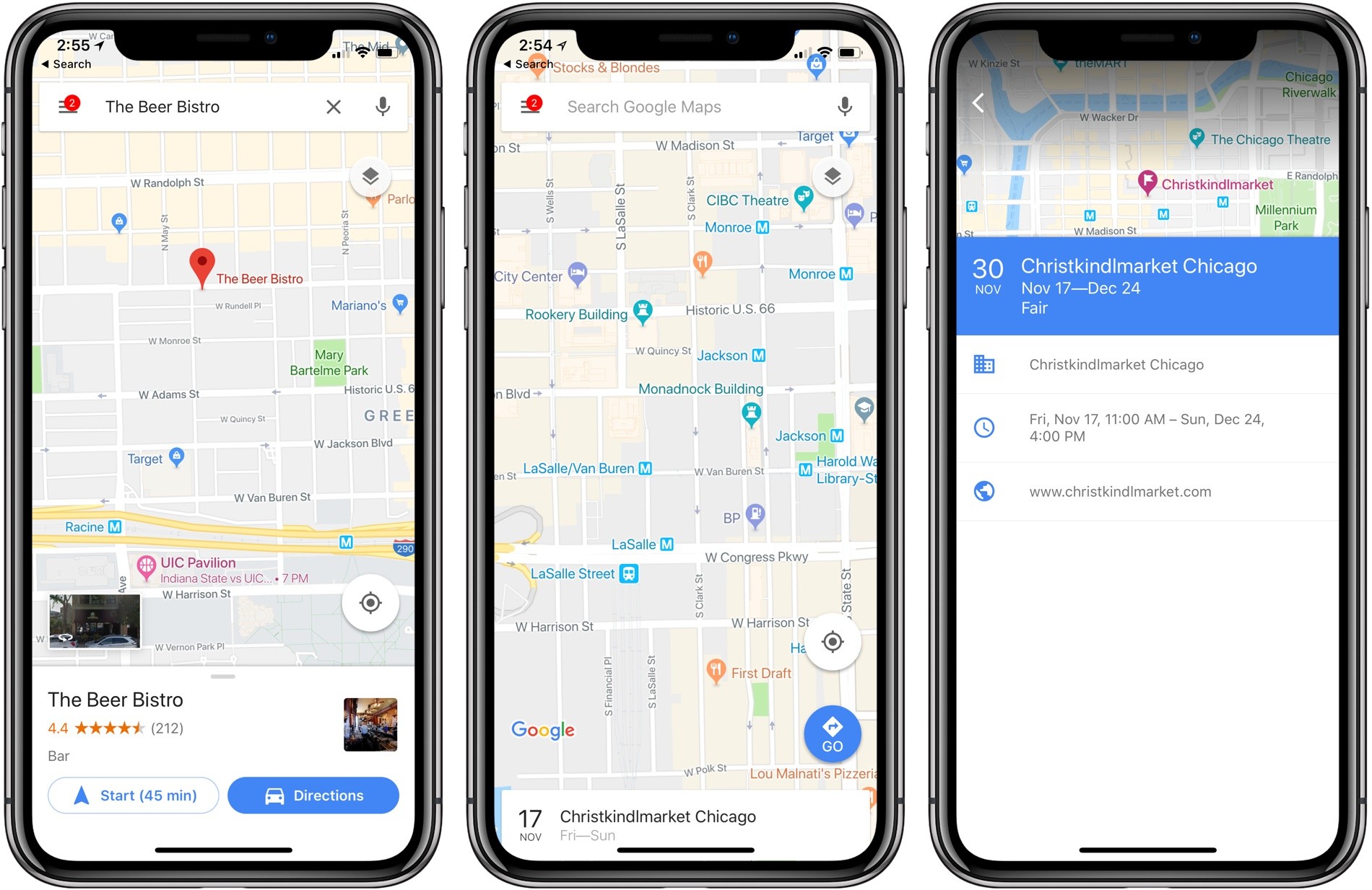
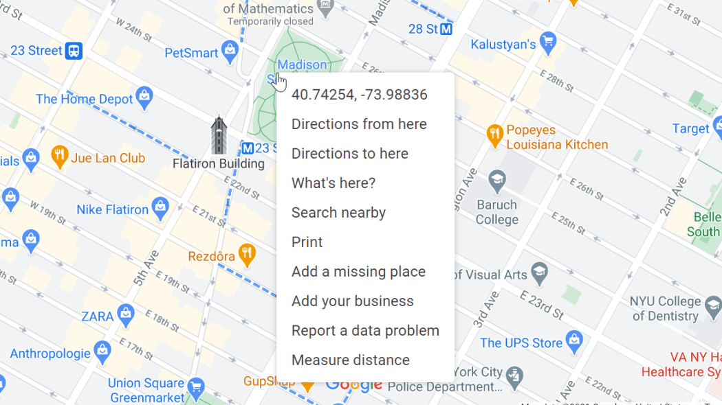
Type in the address of the place you are headed to or right-click the place on the map. It will display a pull-down list, that can help you find directions to or from that location. When assessing the route to a destination, you can drag and drop to go through or away from specific locations.
However, the drag and drop action can only help you move around when the directions are for driving, walking, and biking and not for mass transit options. Meanwhile, Google Maps users with mobility issues can easily command the app to show wheelchair-accessible transit routes. You can turn on the Accessible Places feature by going to Settings; choosing ‘Accessibility’ and then toggling on Accessible Places.
On Google Maps, you have the ability to determine the distance of any two places. To calculate that distance, select “Measure distance” to drop the first point and then click on another point on the map. You can click on as many points as you want, and the total distance will show up on the main card.
Managing Your Favorite Places
If you frequent certain places, you can keep track of them by saving them on Google Maps. Go to the “Saved” tab at the bottom of the screen and select “Favorite places.” Tap the “add button to save a location, whether is a restaurant, a shop, or a tourist spot.
Google Maps can recommend new places to you. See the “Explore” section near the bottom of the screen. It will display different choices of establishments and events based on your location and other factors.
It’s not that fun to go to your favorite places alone. With this, Google Maps allows you to share them with a friend. By tapping the share icon on the location’s Google Maps car, you can share it through email, text, or another app.
Customizing Locations and Trips on Google Maps
Google Maps works like a geographical encyclopedia that will help you when planning a route. Head to the ‘Go’ tab to view details about your route. For example, if you are going to work, make sure your work address is stored in the app.
Choose “Your data in Maps” to see the addresses saved in Google Maps. Confirm your destination’s address and then tap the ‘Go’ tab between the ‘Explore’ and ‘Saved’ buttons to learn more about your route.
Your trips may not always be linear, so Google Maps allows you to add a stop to your route, such as stopping for gas or buying food along the way.
To do this, tap the area near the bottom of the screen that shows your estimated time of arrival and then select “Search along route.” Type in your desired stop, whether it is a specific location or a general category, Google will search for relevant places and give suggestions.
A History of Your Travel
Google Maps records all the destinations you visit, and you can view them by going to the timeline feature in the app. To do this, click on the menu button near the top of the screen, and select “Your timeline.”
Choose the calendar icon and identify a date to view a list and a map of the places you visited that day.
About Google Earth
Using Google Earth is like traveling the world from where you are because it lets you see what a location really looks like.
It’s a free program that uses satellite imagery to generate street maps, terrain, 3D neighborhoods, and more. You can download Google Earth from the Google Play Store and the App Store.
With Google Earth, you can explore different bodies of water by zooming in until you are beneath an ocean. Prepare to discover coral reefs, expeditions, hidden gulfs, and dead zones.
f you’re tired of Earth, you can zoom out and view our planet from outer space.
Google Earth’s Tools
Google Earth is packed with tools that add information to the visual content you are consuming. You can calculate the distance between any two points using centimeters or nautical miles.
Google Earth’s flight simulator makes you feel like flying and viewing the world from the sky.
You can also enjoy a 360-degree view of a location and its surrounding areas. If you want to learn more about what you see on your screen, Google Earth has pre-loaded guided tours, which can take you to Rio, Paris, Sydney, and other popular cities.
Conclusion
From sharing your favorite hangout place to your friend to breathtaking Earth navigation, Google Maps makes exploring the world at your fingertips possible. Google Maps is a virtual tool that offers not just a huge amount of geographic data but also a realization that technology can bring us endless possibilities.
Planning your route is easier with Google Maps because it has features that address the needs of different users, such as finding wheelchair-accessible options and detecting the most convenient routes for busy commuters.


